Welcome to the Ashokan Rail Trail
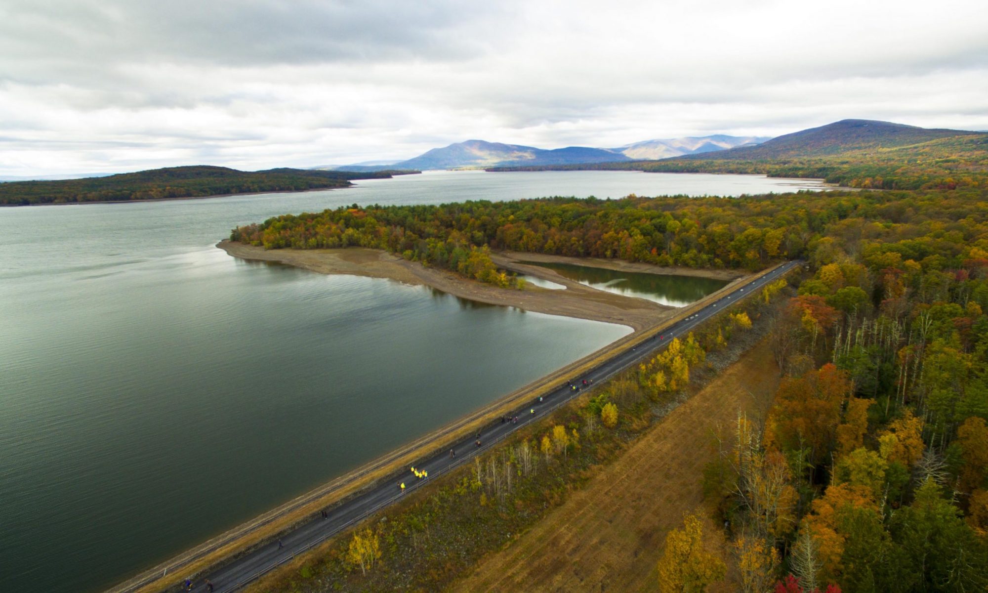
The Ashokan Rail Trail is open to the public from sunrise to sunset year-round. The 11.5-mile recreational trail runs along Ashokan Reservoir between West Hurley and Boiceville. The ART trail surface is 12 feet in width and surfaced with highly compacted fine crushed stone. Both the trail and trailhead parking areas (including the portable restrooms) are ADA compliant and accessible for persons with disabilities. The ART is open for non-motorized uses, including hiking, walking dogs on leash, bicycling, running, nature observation, cross-country skiing, and snowshoeing. The ART trailheads are plowed in winter, but the trail itself is not.
CONSTRUCTION UPDATES
NYC DEP Forest Management Project
NYC DEP has a forest management project that is resuming between Glenford Dike and milepost marker # K12. The project goal is to improve the vigor and resiliency of the forest cover surrounding the Ashokan Reservoir by diversifying the composition of tree species and ages. During periods of suitable weather and good ground conditions, timber harvesting may occur on weekdays from November 1st to March 31, 2022. Although the rail trail will remain open for your use, adjacent NYC DEP lands are temporarily closed to all activities (even for valid DEP Access Pass holders) until the project is complete. A truck crossing of the rail trail has been installed and marked with “STOP” signs; please use caution at the crossing making sure you and everyone in your group are alert for passing trucks or equipment.
Boiceville Trailhead and the Five Arches Bridge
As of November 2021, site preparation work has begun for the Five Arches Bridge replacement. As a result, the number of parking spaces at the Boiceville Trailhead has been reduced. Please consider alternate trail access, specifically by using the Ashokan Station, during holidays and peak trail usage times.
The ART can be accessed from three public trailheads:
Woodstock Dike Trailhead is located at 1285 NY-28 in West Hurley. The Trailhead entrance is 5.3 miles west of the NYS Thruway Exit 19 Traffic Circle and approximately 1,500 feet west of the Stewart’s Shop (by Zena Road).
Ashokan Station Trailhead is located at 3045 NY-28 in Shokan. The Trailhead entrance is 11.3 miles west of the NYS Thruway Exit 19 Traffic Circle across from Mountain Road.
Boiceville Bridge Trailhead is located at 5080 Route 28A in Boiceville. The Trailhead entrance is off Route 28A approximately 16.5 miles west of the NYS Thruway Exit 19 Traffic Circle. Cold Brook Road is direct across Route 28A from this entrance.
Please follow CDC guidelines for masks and social distancing when using the Ashokan Rail and always follow the trail rules:
- Keep to the Right on Trail/ Pass On The Left
- Leash and Clean Up After Dogs (Use Dog Waste Stations at Trailheads)
- Stay On The Trail – Do Not Trespass
- Park Only In Designated Areas
- Leave No Trace – Take With You All Garbage

